Survey Services in Jaipur.
Survey services in Jaipur for builders, developers & government projects. Accurate field data, expert team, and timely delivery on every project.
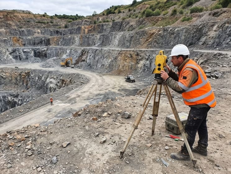
Mine Survey
Accurate mine surveys using modern equipment for safety, efficiency, and detailed data analysis.
Know More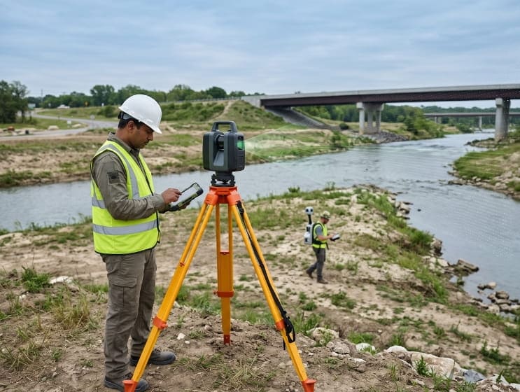
LiDAR Survey
High-precision LiDAR surveys for terrain mapping, infrastructure planning, and environmental analysis using technology.
Know More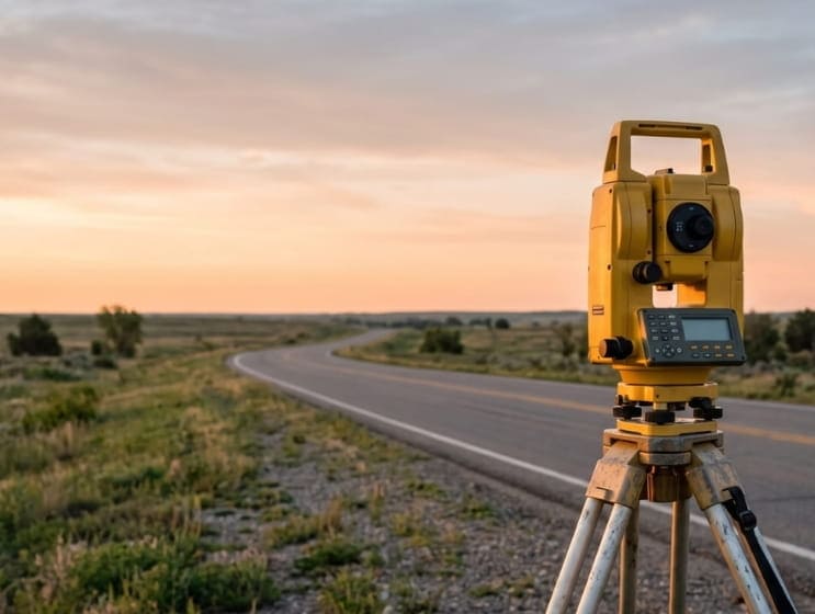
Topographical Survey
Surveys that measure the elevation points on a particular piece of land and presents them as a three dimensional shape.
Know More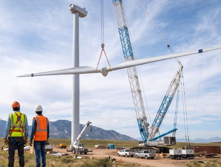
Wind Energy Plant Survey
Dolphin Engineering are experienced with the schedules and evolving requirements of wind energy survey services.
Know More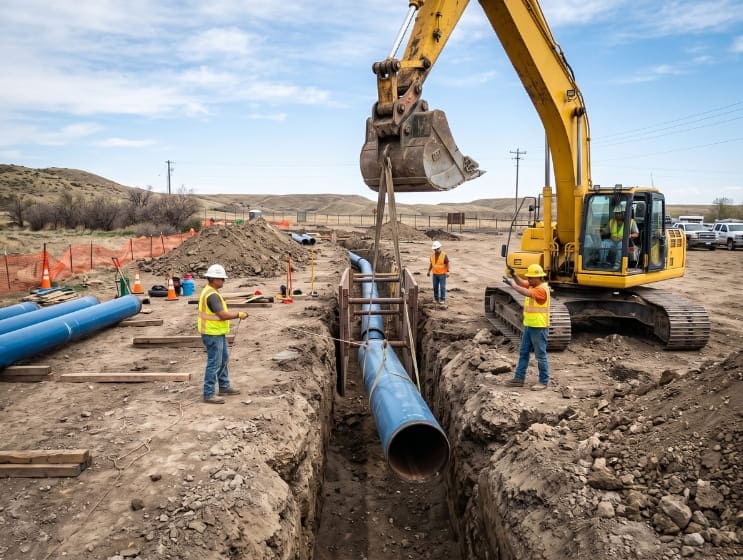
Water Supply Survey
Project preparation for Pipe lines, Geo-technical investigation, CWRs, underground & overhead water tanks.
Know More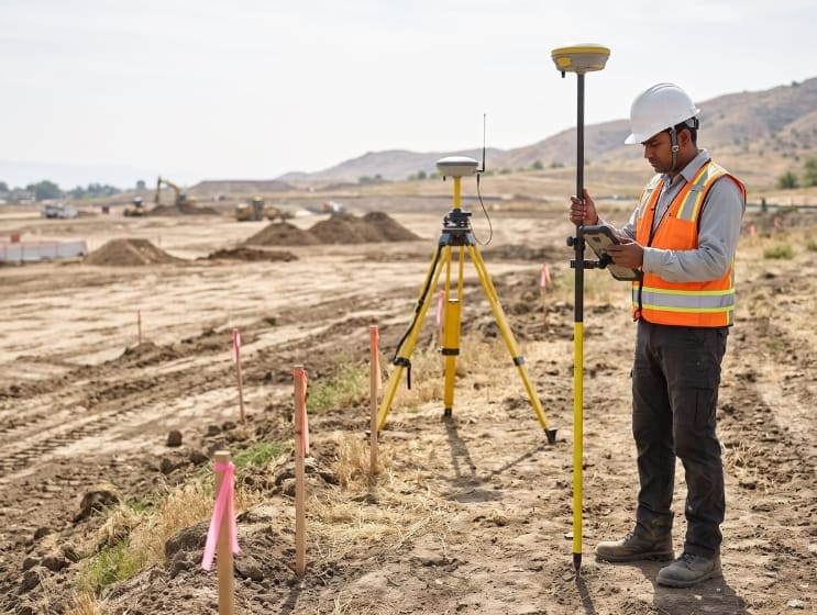
DGPS Survey
The survey services that LAND Survey service provides includes all aspects of the survey profession.
Know More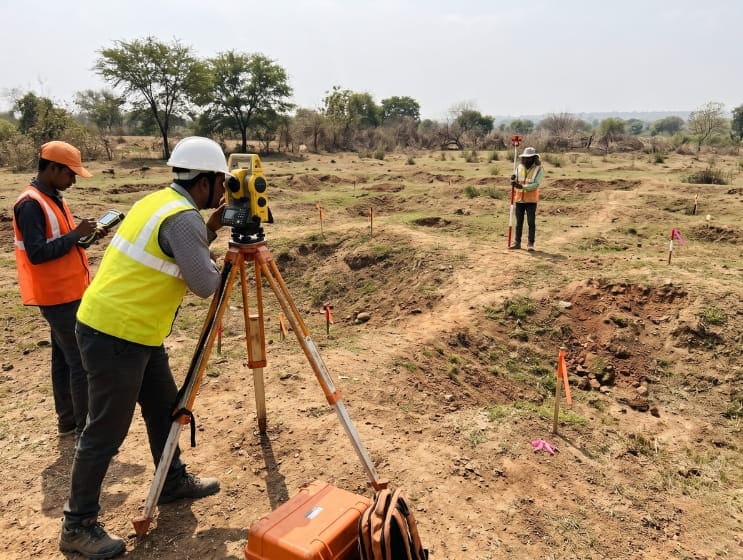
Contour Survey
If you are considering property developing, contour surveys should become your new best friend.
Know More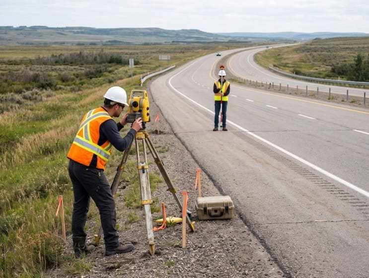
National Highway Survey
Collects public perspectives on, and satisfaction with, Highway and Transport Services in Local Authority areas.
Know More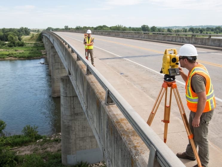
Bridge Surveys
Bridge Surveys are on conducted only by certified Aids Verifiers who have been trained in the new bridge program.
Know More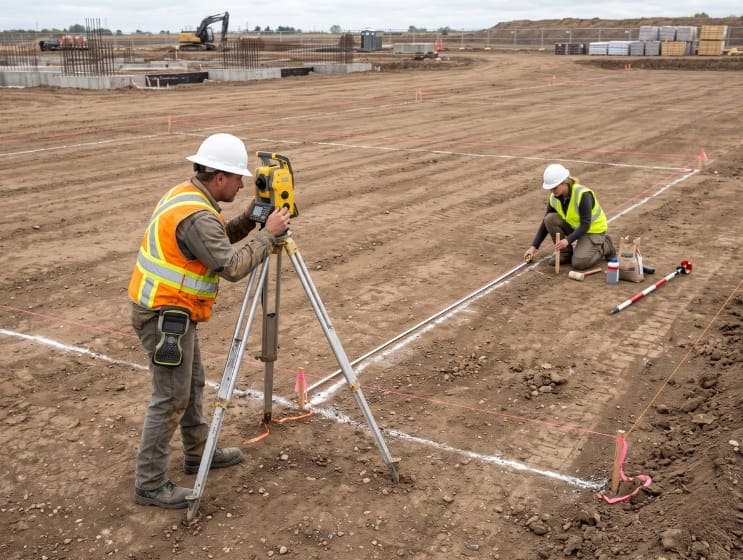
Layout Marketing Surveys
We conduct survey so as to determine the commercial value of a layout at specific geographical location.
Know More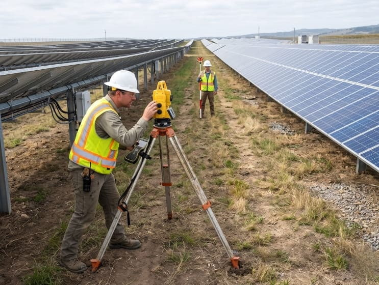
Solar Power Plant Survey
Solar Power industry is gaining more and more importance every day as the other natural resources are growing expensive.
Know More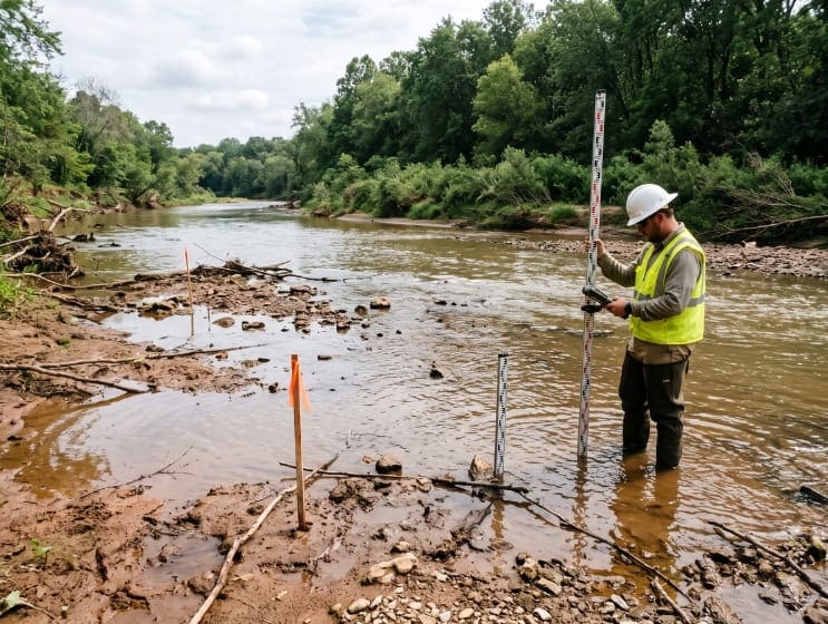
River Survey
Dolpin engineering are expert in river survey they we have group of professionals who perform there work in best manner.
Know More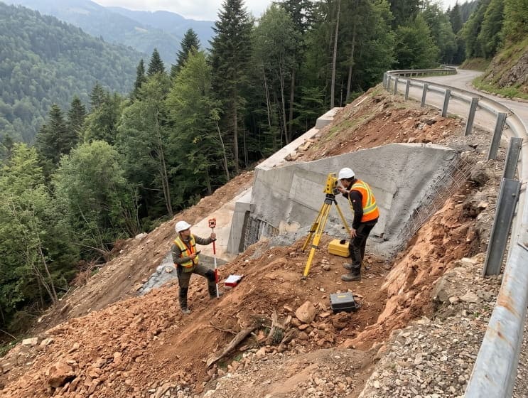
Canal and Dam Survey
The dam survey is mainly done to analyse the water carrying capacity. This survey helps in gathering the accurate results.
Know More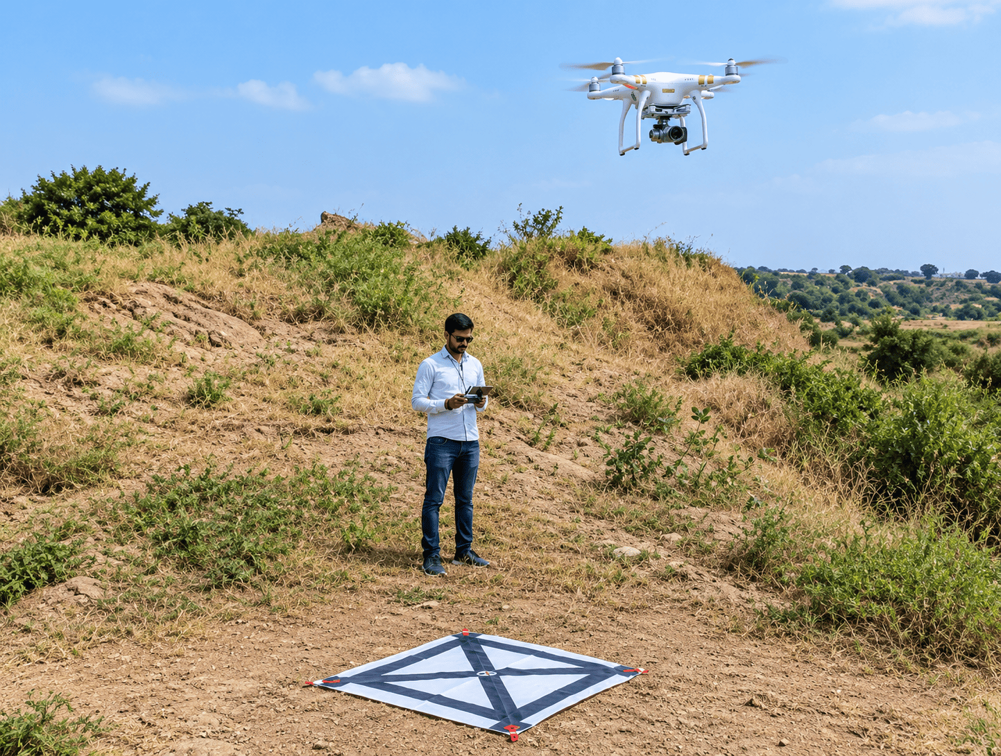
Drone Survey
Capturing high-resolution aerial data for accurate mapping, terrain analysis, infrastructure monitoring, and efficient project planning
Know More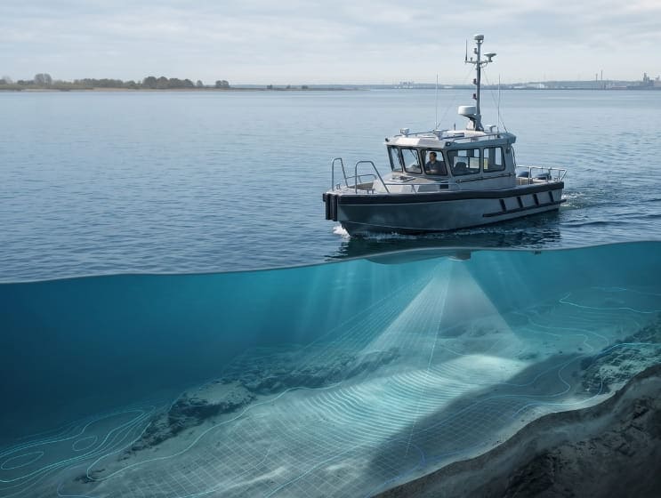
Bathymetric Survey
Mapping underwater depths and riverbeds to provide accurate data for reservoir assessment, water resource management, and marine infrastructure planning.
Know More