For Enquiry

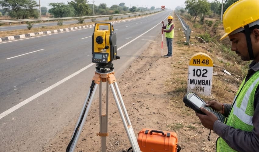
National Highway Survey
National Highway surveying involves detailed measurement and mapping of road corridors to support the planning, design, widening, and construction of highway infrastructure. It provides essential information about existing ground levels, terrain features, road alignments, and surrounding conditions for infrastructure development projects.
Our survey team carries out corridor surveys, topographical measurements, alignment surveys, and cross-section data collection using modern surveying instruments and positioning technology. From existing road assessments to proposed highway alignments and widening projects, we provide reliable survey data to support engineering design and construction planning.
Benefits of National Highway Survey
National Highway surveying provides accurate ground and corridor information for effective road planning and execution. Detailed survey data helps determine road alignments, assess terrain conditions, plan earthwork, and support safe and efficient highway development.
With a focus on precision, dependable equipment, and systematic fieldwork, our national highway survey services deliver reliable corridor and terrain data to support road development, widening, strengthening, and infrastructure projects.